
Marshalltown Neighbors by Source
A block lookup joins separate layers. The county GIS draws approximate parcel shapes, the assessor labels each current parcel card, recorded deeds provide legal instruments, and city maps or permit reports add context. The research found no official current directory of Marshalltown neighborhood associations, so no unverified roster should fill that gap.
| Source | What It Shows About a Block | Access |
|---|---|---|
| Marshall County GIS | Adjacent parcel shapes, numbers, roads, aerial, subdivisions | Free informational map |
| Assessor cards | Owner, situs, mailing label, values, legal description, sales | Search each parcel |
| Recorded deeds and plats | Easements, boundaries, shared drives, transfers | Iowa Land Records or courthouse |
| City maps | Zoning, historic district, city limits, major streets | Official PDF or viewer |
| Permit reports | Recent address-linked construction and trade events | Monthly 2024–2026 reports |
| Newspaper archive | Older legal notices, street names, sales, estates | OCR and page images |
Ownership is not occupancy. An owner's mailing address may differ from the parcel's situs, which means physical address. A company or estate may own a lot. Two postal addresses that look consecutive may be divided by an alley, road, river, public right of way, or city boundary.
Map Marshalltown Adjacent Parcels
Start at the Marshall County GIS office page, then follow the county map service. The county warns that GIS data is informational and does not replace a survey. Use the map to find parcel identifiers and spatial context, not to decide a legal boundary dispute.
- Search the known street address and select its parcel. Record the parcel number, subdivision or lot label, and nearest intersection.
- Click each touching polygon. Exclude a road, alley, river, or right-of-way unless the map identifies it as a separate parcel.
- Open each adjacent parcel through the assessor search. Collect the same fields for every lot: parcel, legal description, owner role, situs, mailing label, sale date, and permit rows.
- Compare deeds or plats when two lots share an easement, driveway, grantor, transfer date, or boundary adjustment.
- Use zoning and historic maps for block context, then stop short of inferring who occupies each home.
This flow keeps Marshalltown neighbors tied to primary records. The Marshalltown street directory is the better route when the goal expands from touching lots to an entire named street.
Marshalltown Parcel Search Quirk
The Marshall County property-search landing page links to both Beacon and wEdge. The same county data may therefore appear through different search fields or result layouts. Keep the parcel number and legal description as stable keys when moving between them. Do not assume that a missing button means the record itself is unavailable.
The assessor card can include owner, mailing address, situs address, legal description, assessed values, building details, sale history, permits, and sketches or photographs. Not every field proves the same thing. A sale row marks a recorded transaction, a permit row marks an application or work event, and the owner display names the owner of record. None is a list of every person at the address.
Insider tip. Compare situs and mailing labels before treating an owner as a Marshalltown neighbor; the assessor says those addresses can differ.
Marshalltown Neighbors in Deeds
Shared drives, access strips, plats, boundary changes, and easements belong in the recorder layer. An easement is a recorded right to use part of another parcel for a stated purpose. A plat is a recorded drawing that divides land into lots, blocks, streets, and related areas. Search the Iowa Land Records index by grantor or grantee, then match legal description, parcel, document type, date, and instrument number.
Begin with the present owner shown on the parcel card. Search that name as a grantee, which means the person or entity receiving an interest. Read the deed for the prior grantor, or giver, and for easement or plat references. If an image is not online, request the instrument from the Marshall County Recorder or use courthouse access. A name in an easement may describe a past party or mailing recipient, not a current neighbor.
Note: GIS lines are approximate; use a recorded instrument and qualified survey evidence for a real boundary question, never the web map alone.
Reading Marshalltown Downtown Blocks
Downtown blocks need extra map context. Marshalltown's documented core runs along East and West Main Street with parts of State, Church, Center, 1st Avenue, 2nd Avenue, and 1st Street. The official downtown plan describes a 96-property historic district listed in 2002. Mixed uses, public parcels, alleys, and older lot lines can make the closest postal number a poor stand-in for adjacency.
The 2018 tornado damaged the courthouse tower and historic downtown. That event creates a useful before-and-after research path through maps, permits, reports, property cards, and dated newspaper coverage. It does not justify guessing which person was at a site. Compare a record's date to the storm, repair work, demolition, or transfer date.
Use the downtown master plan for named streets and historic context. Then return to parcels and instruments for ownership questions. Zoning can describe allowed land use but never tells who your neighbors are.
Marshalltown Block Permit Events
The Building and Trade Permit Reports provide monthly address-linked records for 2024 through 2026. They can reveal a demolition, addition, repair, or trade event that helps explain a visible block change. Record the report month, permit type, address, and stated role. An applicant, contractor, owner, or contact is not automatically a resident.
For a record not published in the monthly archive, contact the Building Division or submit a focused request through the City Clerk. Describe the address, date range, permit type, and desired format. Marshalltown's public-record request route lets a requester ask to examine or receive copies. This fallback is more reliable than treating silence in one report as proof that no permit exists.
The captured Marshalltown parking-citation screen shows a separate city name, citation, driver, vehicle, and business search surface.
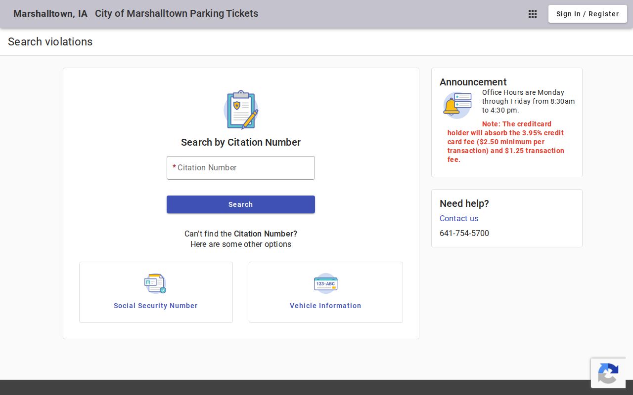
The image is a reminder that city records have distinct purposes. A citation is not evidence of who now occupies a nearby parcel.
Marshalltown Community Directory Gap
No official, current Marshalltown neighborhood-association or HOA directory was located in the research. The city plan supports neighborhood organization as a policy goal, but that is not a verified list of active groups, officers, or household rosters. Before naming an association, confirm it through a current city contact, the group itself, or a recent official document.
| Community Route | Safe Use |
|---|---|
| City planning contact | Ask whether a recognized current group serves the block |
| Public library archive | Search dated group notices and neighborhood events |
| Recorded subdivision documents | Identify covenants or plat context, not current membership |
| Current group contact | Request public meeting information, not a private roster |
Congregations, clubs, and civic groups may connect people to Marshalltown, yet membership can be private and does not establish a home. A public event notice can confirm that a group met at a place on a date. It cannot establish a household list.
Official Marshalltown Neighbor Records
Official sources and commercial neighbor tools answer different questions. County and city records identify the custodian, record date, field labels, and correction route. Commercial tools may merge public, purchased, and inferred data without showing how a name was tied to a place. Describe that category, but return to the primary record for every important point.
| Point | Official Roll | Commercial Tool |
|---|---|---|
| Source and date | Named custodian and record date | May be unclear or blended |
| Meaning | Defined owner, party, permit, or filing role | May infer household or association |
| Correction | Request the lawful custodian's process | Separate provider process |
| Best use | Verify one stated public fact | Unverified lead only |
A careful block log records parcel number, legal description, map date, owner role, and instrument or permit identifier. It leaves names in the source record instead of compiling a sensitive dossier.
Marshalltown Block Record Fallbacks
When a map or report is incomplete, go to the keeper. The county GIS office handles map data and 911 addressing questions. The Assessor explains parcel-card fields. The Recorder supplies filed deeds, plats, and easements. The City Clerk routes city records, while the Building Division handles permit files. Historical blocks may require Marshalltown Public Library newspaper images or State Historical Society county holdings.
The Marshalltown Police Records page explains requests for reports, arrests, statistics, and copies.
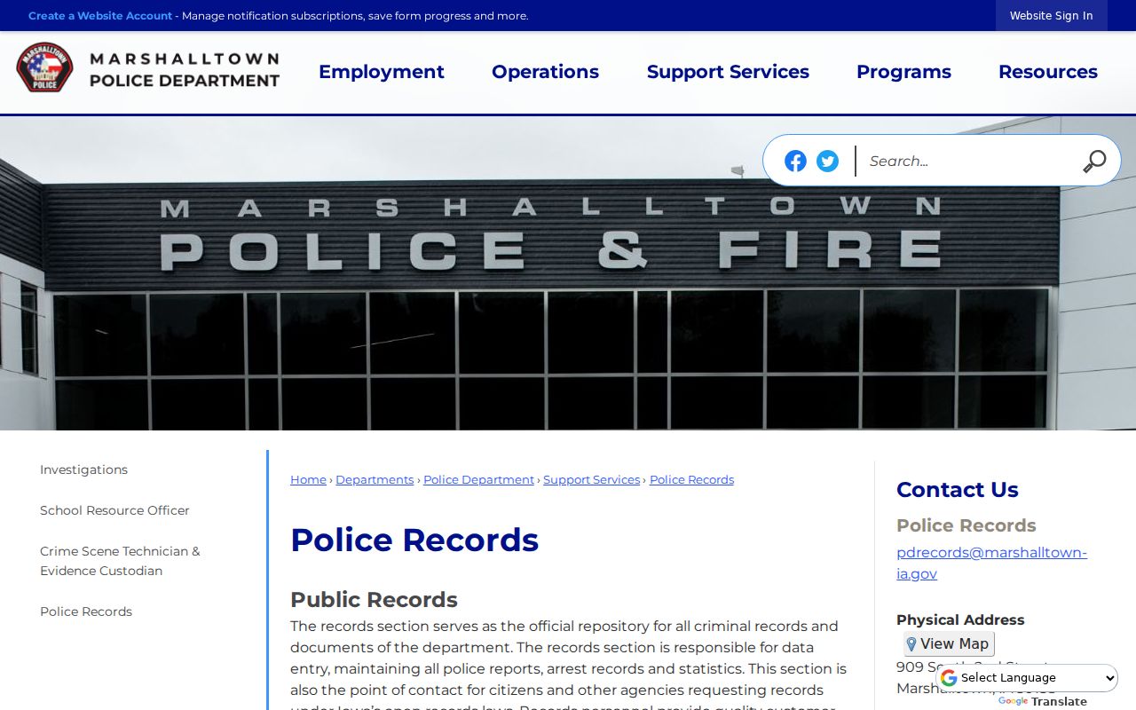
The police page is a custodian route for a known public record, not a way to build a list of neighbors.
The Marshall County inmate roster has current, released, archived, date, and name modes.
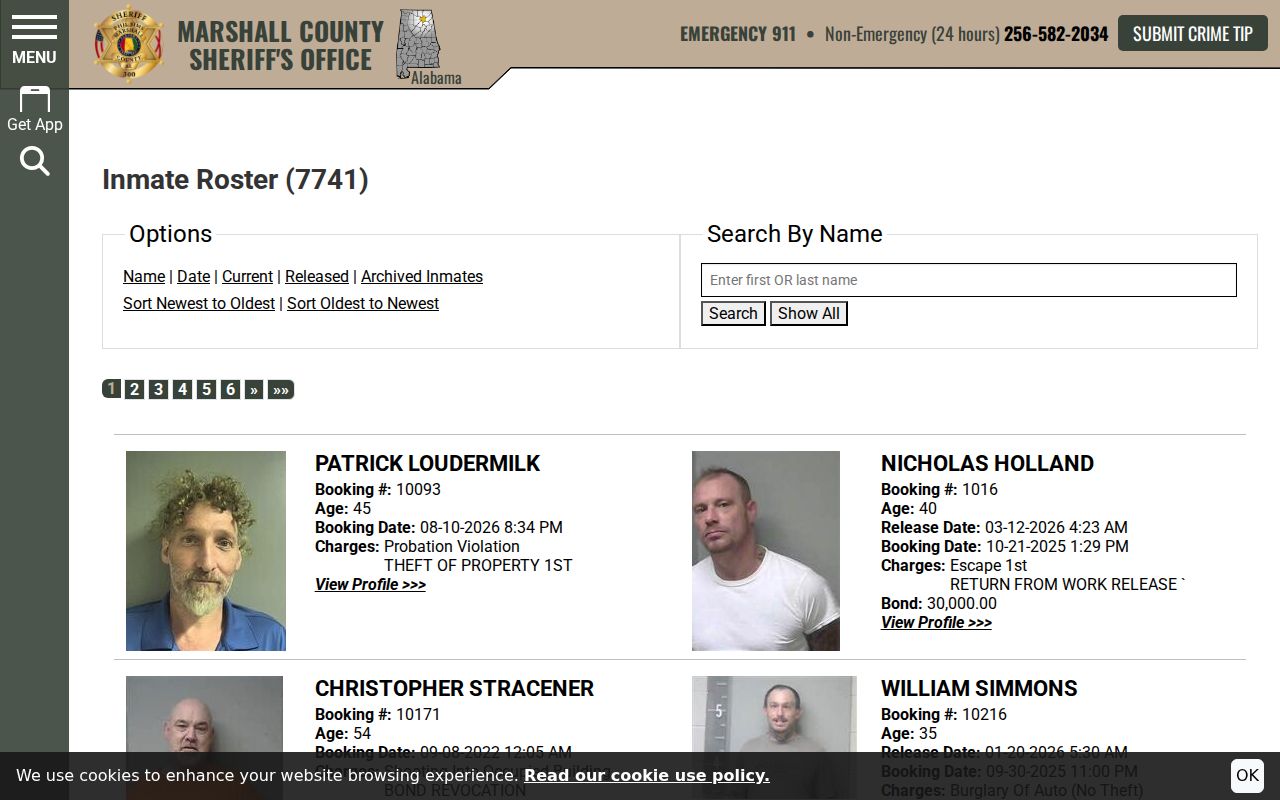
The roster is a convenience display, not the official file and not proof that a person lives on a Marshalltown block.
Privacy for Marshalltown Neighbors
Parcel and deed records can name owners, but renters and household members are not indexed as a complete public list. Utility, delivery, and unrelated phone or email data do not become public merely because an address is known. Iowa Code section 22.7 protects specified government records and fields, while sealed or restricted material follows its own law.
Iowa Safe at Home gives eligible people who fear harm a designated substitute address and confidential voter protections. Actual addresses stay in a secure system. Real-estate records are not removed by the substitute-address rule, which makes restraint especially important when a parcel owner appears.
Lawful use. Research Marshalltown neighbors for block history, civic curiosity, or personal safety awareness. Never use records for surveillance, unwanted contact, intimidation, stalking, harassment, or harm.
Correct a wrong owner field with the assessor, a deed issue with the recorder, a city record with its department, and a court record with the clerk. Do not republish birth dates, protected addresses, private contact details, booking identifiers, or family profiles when a source link can answer the lawful question.